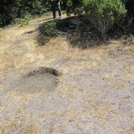
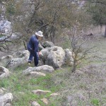
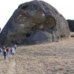
4 housepits near Bear Gulch
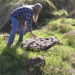
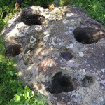
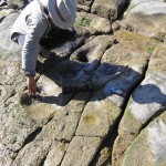
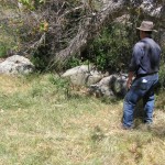
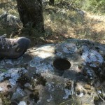
9 Bedrock Mortars Near Sunol Regional Wilderness Interpretative Center
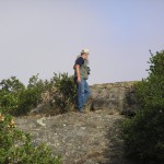
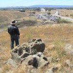
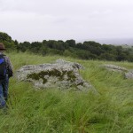
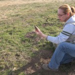
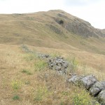
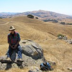
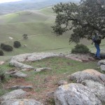
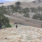
Above Mission Peak Meadow
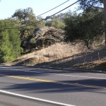
ALA-60 at Crow Canyon Road and Castro Valley Boulevard
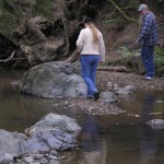
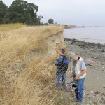
Alameda/Calaveras Creek confluence
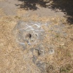
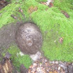
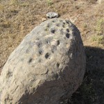
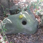
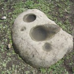
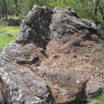
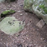
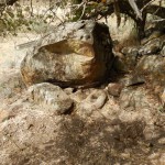
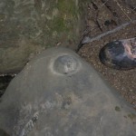
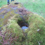
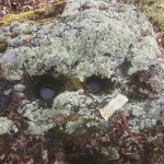
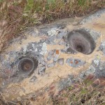
Alviso Adobe 38 cupule rock.
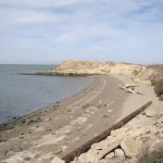
Blue Rock Springs Park — South
Blue Rock Springs Park — North
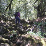
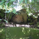
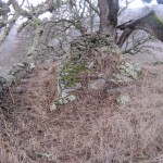
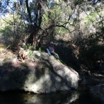
Briggs Creek below Alma College
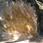
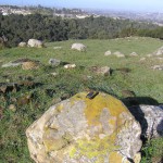
Canyon Trail Park Petroglyph Boulder CA-CCO-152
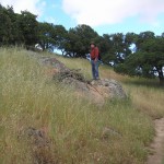
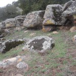
Castle Rock Park Partridge Farm area
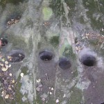
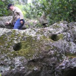
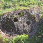
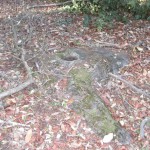
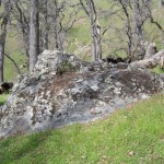
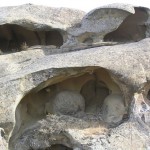
Evergreen Valley Cupule Rock on Silver Creek
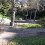
Glen Cove Park, aka Sogorea Te
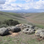
Lake Del Valle, Campsite 40
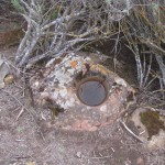
Mission Creek Trail Spring
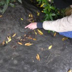
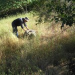
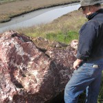
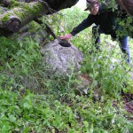
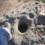
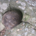
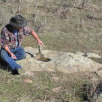
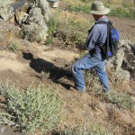
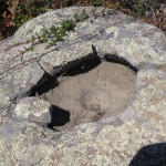
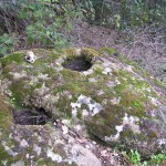
Jeff’s Niles Canyon Mortar
North Knoll, Chinese Tree of Heaven
Lake Del Valle, Campsite 74
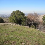
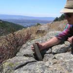
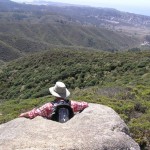
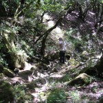
Monte Bello Open Space–headwaters of Stevens Creek
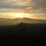
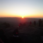
Mt. Diablo Winter Solstice alignment
Patterson Mound, CA-ALA-328
Sanborn Creek Village — Saratoga
Siippery Rock at Big Basin
South Fork Apperson Creek
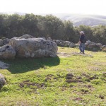
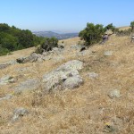
Sunol Ridge, North of Prayer Circle
Sunol Ridge, South of Prayer Circle
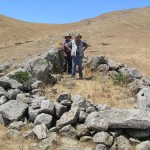
Sunol Ridge Prayer Circle
SW Walpert Ceremonial Site
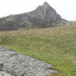
Turtle Rock – Solstice site.
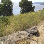
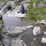
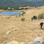
Upper Lake at the Alma College site
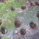
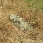
Wildcat Creek Cupule Rock
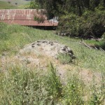
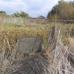
Whittell Marsh Shellmound
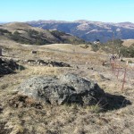
Windmill Overlook, Central