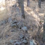
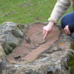
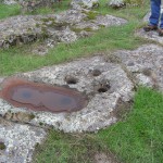
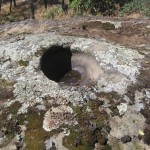
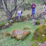
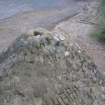
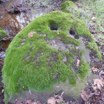
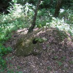
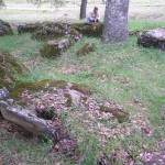
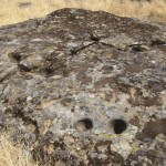
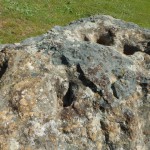
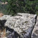
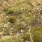
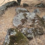
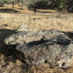
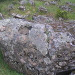
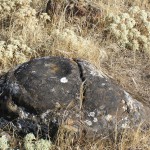
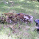
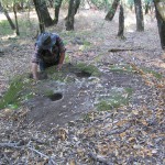
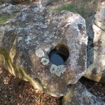
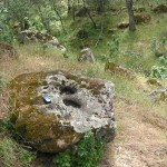
Manzanita slick
Manzanita slick.
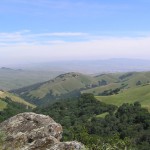
The Volvon were one of the Bay Miwok tribelets living in Contra Costa County at the time of European contact. They were a hill people based in the rugged Black Hills southeast of Mt. Diablo. The mountain itself was in Volvon hands. It had been the home of the supernatural First People, who created Indians and their world, and was a spiritual focus for nearly every tribe that could see it. Shamen and religious leaders went to the mountain to pray. Everyday people would visit its slopes for intertribal festivals. This meant the Volvon must have been a prosperous people. One did not just sashay into Volvon territory without bearing tribute for the privilege. Imagine the trade goods the Volvons acquired this way. They were regular participants in regional trade festivals hosted by their Ohlone neighbors, the Ssaoams, at the Brushy Peak trading grounds not far from the Altamont Pass. The Volvons’ preeminent position at the crossroads of Central California no doubt made them a sophisticated and cosmopolitan people.
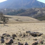
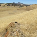
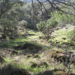
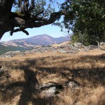
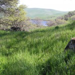
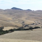
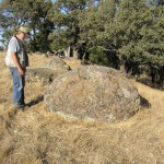
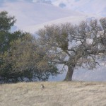
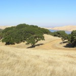
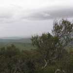
That Volvons were active traders does not mean their territory was short on natural resources. The name ‘Volvon’ itself roughly translates as “natural springs,” which befits a triblet based in the Black Hills where the headwaters of a number of perennial creeks rise. The highland heart of Volvon territory today is rich in oak, pine, and manzanita. Mount Diablo is home to a number of endemic plant species–rare resources controlled by Volvons. Open rangelands, now mostly overrun with nonnative grasses, must once have been covered with food-bearing plants. Deer, elk, and antelope were no doubt abundant in the lighly settled ridges and valleys on the eastern side of the territory.
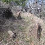
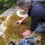
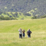
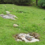
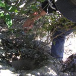
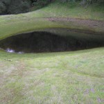
Volvon territory gives every appearance of once having supported a substantial population. We have discovered 81 bedrock mortar sites, and over 2,100 bedrock mortars. Each site carries its own sense of place and is an individual window into the past. As you walk the paths that connect these sites and build up a richer mental map and sense of the landscape, you may acquire a feeling for the possibilities of life in Volvon territory in the not so distant past.
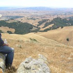
There are magical and metaphysical powers associated with Mt. Diablo and the Black Hills. Go there now and experience its effect on your perspective. Steep yourself in prehistory. The Spanish extirpated the Volvons from their homeland 200 years ago, but physically, their territory remains virtually intact today. The land still has a life of its own.
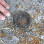
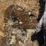
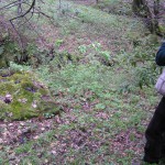
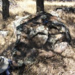
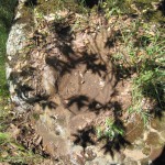
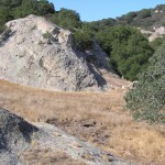
Manzanita slick.
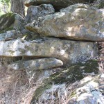
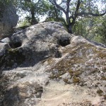
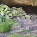
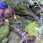
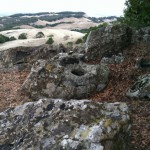
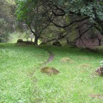
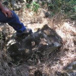
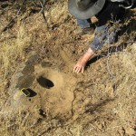
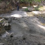
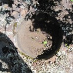
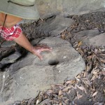
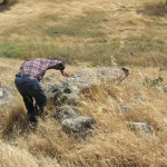
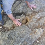
Rock City13 bedrock mortars, grinding slick, cupules, and incisions.There are deep, well-worn mortars here.Another view.
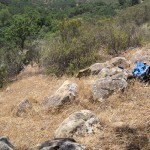
Upper East Morgan Territory RidgeSix bedrock mortars.Elevation 1952 ft.There are two clusters of mortar rocks at this site. The second cluster lies about 250 ft. to the northwest.There are great views of the Central Valley from this shelf, and it’s only 35 minutes from the Morgan Territory parking lot. A great place for a picnic.
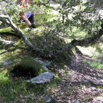
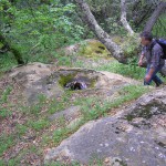
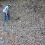
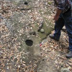
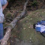
Bob’s Mortar75 bedrock mortars, including 9 in a satelilte site about 100 ft. awayElevation 1380 ft.This site was named for the first mortar Bob discovered on his own. It is a single large bowl on a rock right beside the trail. Below the rock a small perennial spring or seep dribbles water into a creek […]
Greenhill Ranch, aka The Green RanchElevation 2,440 ft.We call Greenhill Ranch the “Shaman’s Redoubt” because we think it likely that shamen worshipping on Mt. Diablo used this beautiful site as a camp/staging area. In 1938-9 William Wurster, later to become Dean of the Architecture Department at Cal Berkeley (Wurster Hall is named for him), designed […]
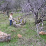
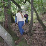
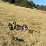
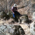
Lower Deer Valley14 bedrock mortars.Elevation 495 ft.Way to go Jaime!Looking at the site. The mortar rocks in this little camp lie just off the Stewartville Trail near Sand Creek in Black Diamond Mines Regional Park.Bob looks down at one of the mortar rocks.These bullet-shaped mortars are deep and reminiscent of the ones found at China […]
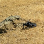
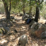
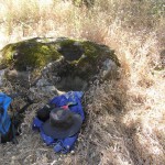
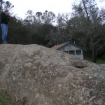
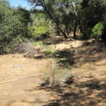
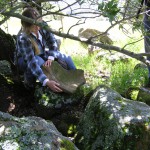
Manzanita Trail11 bedrock mortars and slick.Elevation 1700 ft.Looking at the camp from near the trail.The relative remoteness from water suggests this may have been a seasonal camp, but who knows?That’s Manzanita trail in the background.A pair of mortars in a natural depression.Photograph by Bob Bardell.
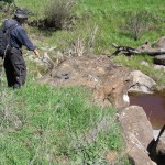
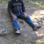
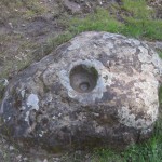
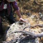
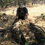
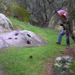
Round Valley1 bedrock mortar with a pestle or hammerstoneElevation 442 ft.We found this mortar and its in situ pestle or hammerstone on the bank of Round Valley Creek.Bob illustrates how the pestle/hammerstone might have been deployed. The user would probably have straddled the mortar, however.A closer look at the pestle/hammerstone snugly ensconsed in its mortar.
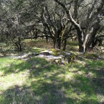
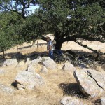
Upper Homestead Trail Knob site.Eight bedrock mortars.Elevation 1285 ft.A little site above the headwaters of Silva Creek.The conjunction of grassland and oak woodland is typical of Volvon territory.An old mortar.
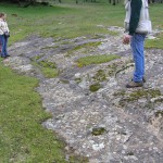
Briones Valley2 bedrock mortars and one possible mortarElevation 312 ft.Joel’s reconnaissance of Briones Valley turned up this mortar rock.The mortars here may have begun life as geoconcretions.